
News at the HPC²
MSU Partnership Highlights Power of GIS for Alaska's Indigenous Communities
June 19, 2024
Alaskan Landscape
Last month, MSU's Geosystems Research Institute's Geospatial Education and Outreach (GEO) Project partnered with the U.S. Fish and Wildlife Service, Bristol Bay Native Corporation and the University of Alaska Fairbanks to offer in-person geographic information system (GIS) training courses. The training took place in Alaska's Bristol Bay region, a vast, geographically diverse region where natural features are critical to local ways of life.
Claire Babineaux, who led the training on behalf of GRI's GEO Project, said the course participants were interested in using GIS software for their own unique needs, such as subsistence agriculture.
"They were very interested in mapping the environment, specifically erosion and measuring the impacts of climate change on indigenous populations and their food sources," said Babineaux, a GIS Coordinator and GEO Project Instructor at the Geosystems Research Institute. "They were also interested in mapping permafrost because that controls a lot of their direct environments. They also saw the potential of using GIS to document and share their cultural heritage, for example by using language maps."
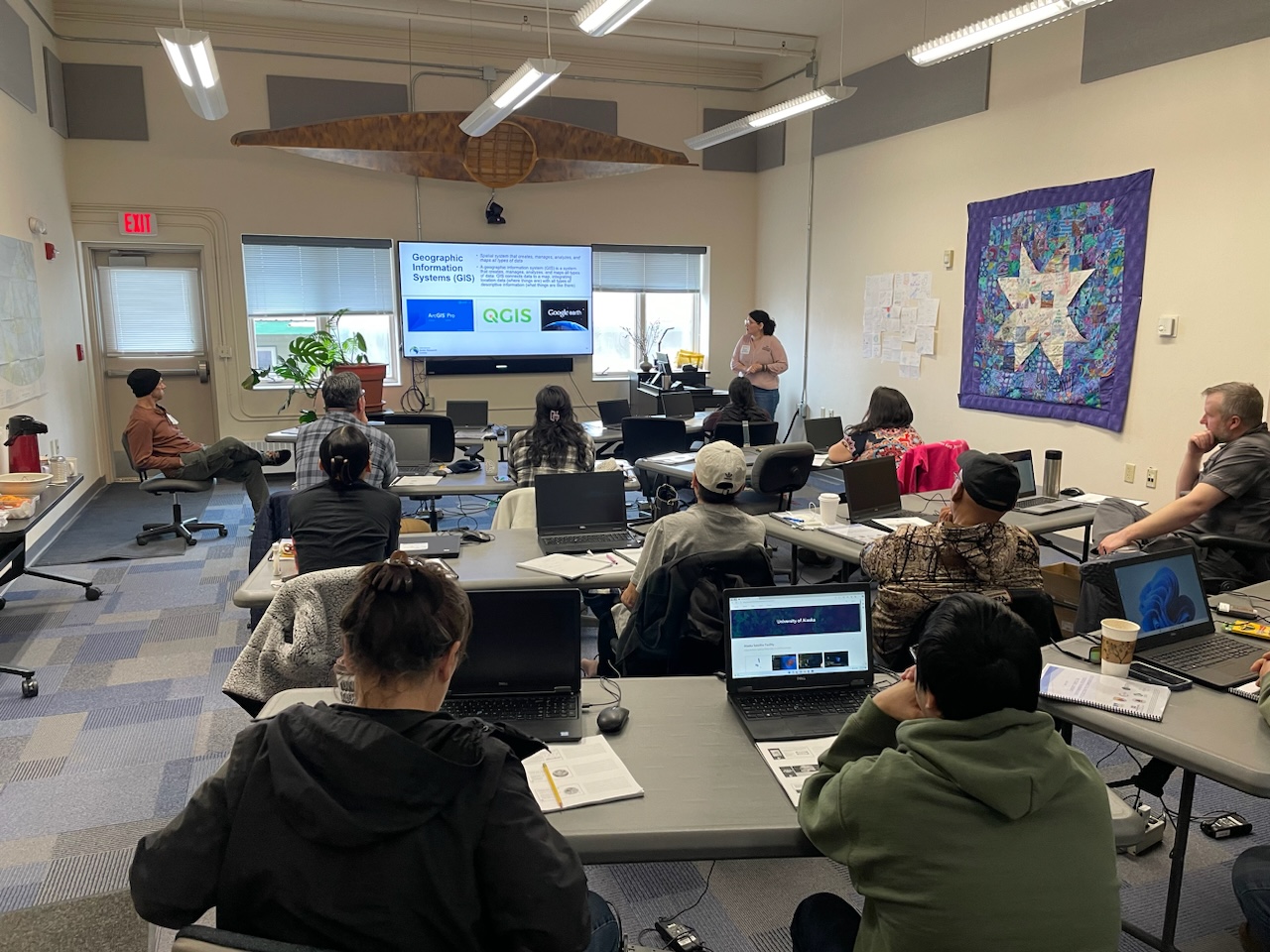
GIS Training
GRI's GEO Project has a long track record of providing GIS training to public-and-private sector individuals through a longstanding partnership with the National Oceanic and Atmospheric Administration. The GEO Project, led by Assistant Extension Professor John Cartwright and funded by NOAA's National Ocean Service's Office for Coastal Management, was created in 2006 and has provided training to more than 5,000 participants throughout Mississippi and U.S. coastal regions.
"As the power and accessibility of GIS tools continues to grow, it is important that we train stakeholders in how to effectively use these resources," Cartwright said. "I am proud of the work we are doing to expand access to GIS capabilities and I appreciate the support of our partners to make this training in Alaska a reality. We can't wait to see how the participants use GIS to grow their understanding of the Bristol Bay region."
For more on the Geo Project, visit www.gri.msstate.edu/GEO.
Mississippi State University is taking care of what matters. Learn more at www.msstate.edu.
By James Carskadon